
SOLID EARTH SCIENCE
Solid Earth sciences encompass the study of the planet’s solid surface,
including ocean basins, and its interior.

Understanding the structure and the functioning of the Earth and its dynamics is the challenge of Earth scientists, who study the physical and chemical constitution of our planet.
Furthermore, understanding how the Earth works as a system is also critically important to modern society. Society needs resources to support home life, industry and business and it needs security in the face of natural hazards. Earthquakes, volcanic eruptions and unrest episodes, floods, landslides, tsunamis are all Earth phenomena impacting on society.
Solid Earth Science, by bringing together many diverse disciplines such as geology, seismology, geodesy, volcanology, geomagnetism as well as chemistry and physics as they all apply to the workings of Earth, is the place where to find answers on how to maintain the Earth a safe, prosperous, and habitable planet.
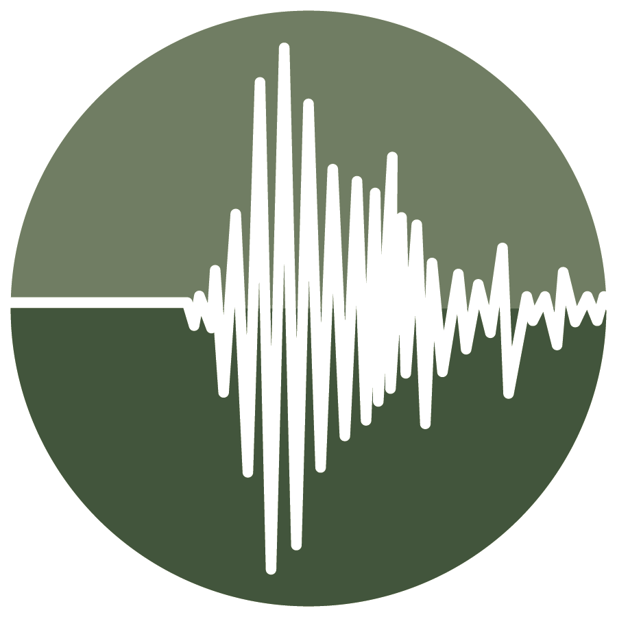
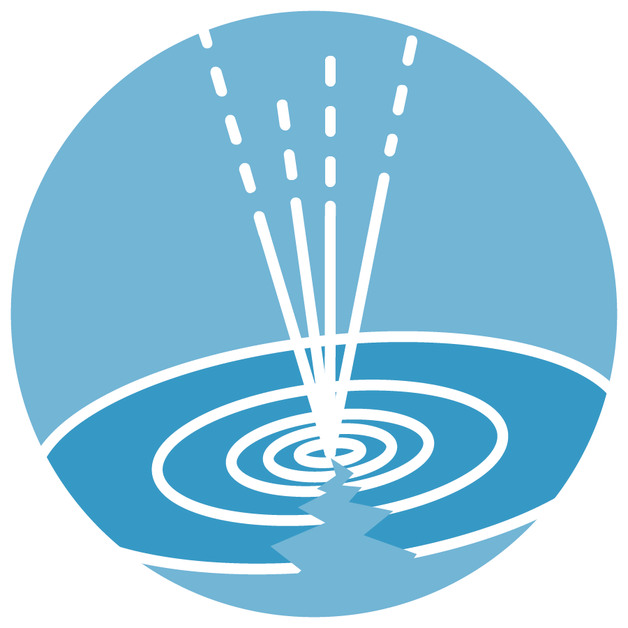
Seismology
Seismology is the study of earthquakes and the propagation of seismic waves through the Earth or through other planet-like bodies. It is crucial to understand the origin and the mechanics of earthquakes to assess seismic hazard.
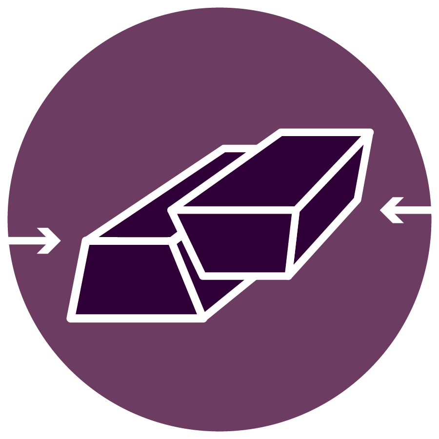
Near-Fault Observatories
Fault zones are usually located at the boundaries of tectonic plates, the areas with the highest seismic hazard on the Earth. Understanding the mechanics of earthquakes and faulting requires the collection of high-quality multidisciplinary data.

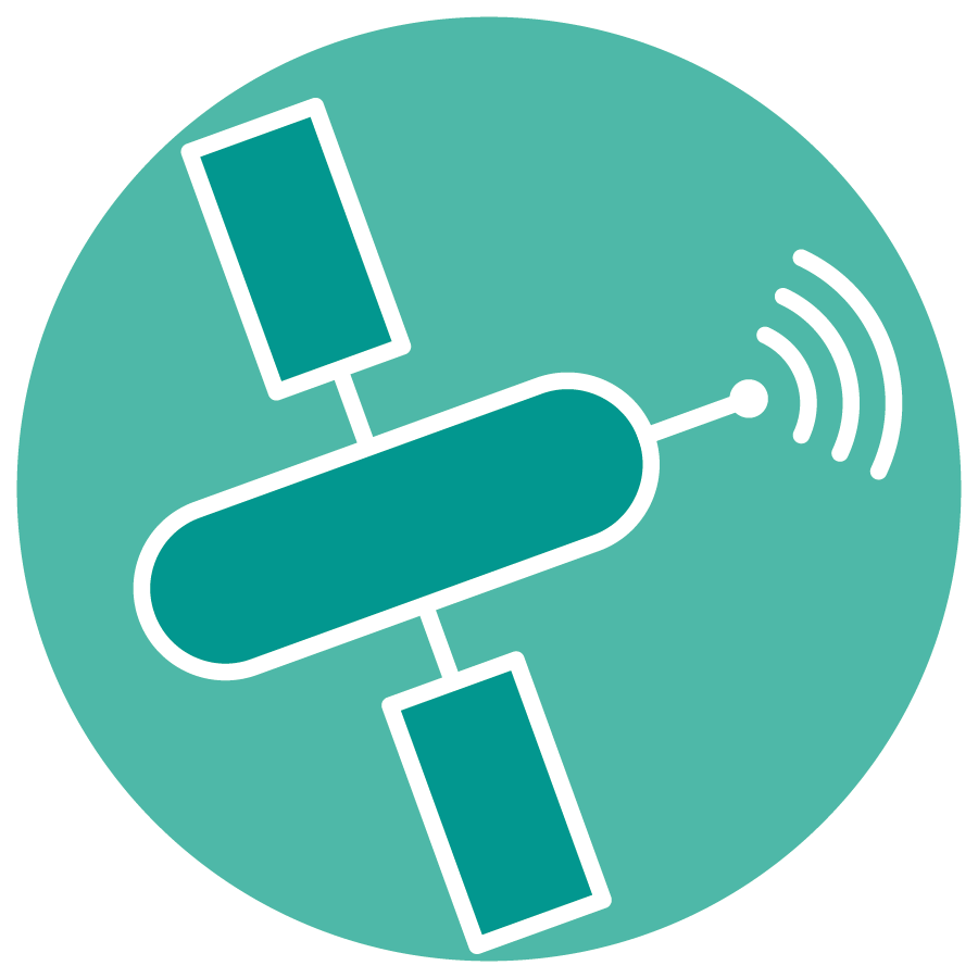
GNSS Data and Products
Global Navigation Satellite System (GNSS) refers to a constellation of satellites providing signals from space, which help to measure the geometric shape of the Earth, its orientation in space, and its gravity field.

Volcano Observations
Volcanoes are manifestations of the dynamics of planet Earth and their distribution and dynamics reflect the movements of the Earth’s tectonic plates. Understanding volcanic activity requires the collection and analysis of multidisciplinary data.
Satellite Data
The quantity and quality of geodetic measurements from satellite data have increased dramatically over the past two decades, improving our ability to monitor and model the deformation of the Earth’s surface and plate motion.
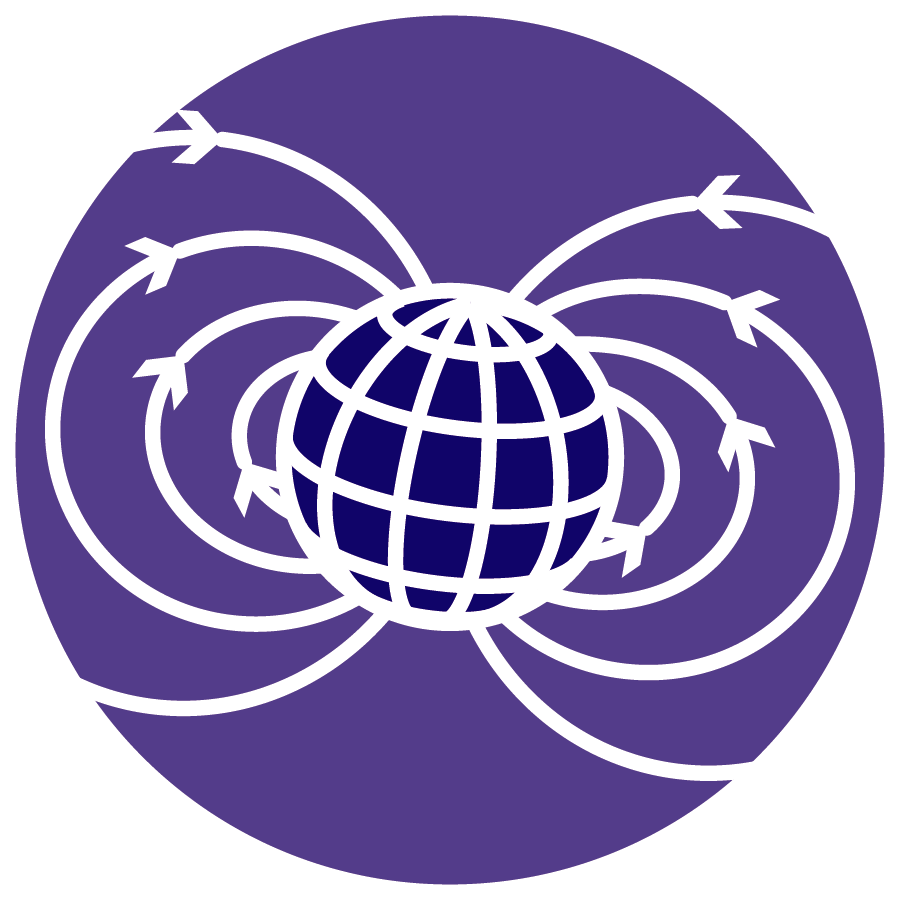
Geomagnetic Observations
Geomagnetic observations are concerned with the planet’s magnetic field, a powerful force that can occasionally be dominated by rapid changes caused by processes on the Sun, known as geomagnetic storms.
Anthropogenic Hazards
The exploitation of georesources entails anthropogenic hazards, that is, the risk of human-induced hazards to the environment, people, and infrastructures. Among them, the risk of induced seismicity is a growing area of interest for societies.

Geological Information and Modeling
Ensuring environmental sustainability is a condition to guarantee the adequate management of georesources for a safe and prosperous society. Addressing this issue will require an understanding of the Earth's composition and its geological processes.

Multi-Scale Laboratories
The multi-scale nature of the Planet's physical and chemical processes is reflected in the various methods and instruments employed in Earth science laboratories. Research performed in these laboratories is crucial to the understanding of Earth dynamics.
Tsunami
Tsunamis constitute a significant hazard for European coastal populations, and the impact of tsunami events worldwide can extend well beyond the coastal regions directly affected.
Progress in the understanding of the physical processes controlling earthquakes, volcanic eruptions and tsunamis as well as those driving tectonics and Earth surface dynamics requires a long-term plan to facilitate integrated use of data, models and facilities from distributed research infrastructures for solid Earth science.
EPOS is this long-term plan for the integration of research infrastructures for solid Earth science in Europe.
Scientific research in solid Earth sciences relies on the access to multidisciplinary data from these diverse disciplines and the integrated use of the data collected by observing systems and national research infrastructures.
The numerous national research infrastructures engaged in EPOS are deployed for the monitoring of areas prone to geo-hazards and the surveillance of national territory including areas used for exploiting geo-resources. Providing access to data, scientific products and information to different stakeholders requires effective solutions and harmonization with national and international priorities and strategies.
EPOS is responding to this need and it has been designed to harmonize data and metadata and to ensure that new data products are accessible to both researchers and users across wider society.
Considerable advances in information technology and e-sciences now make this integrated approach possible, easing access to the wealth of data and products available across Earth science and related fields. Accessible datasets will bring novel cross-fertilization of ideas and leads to innovative research that is the key to foster a science for society.
Through the integration of data, models and facilities EPOS will allow the Earth Science community to make a step-change in developing new concepts and tools for key answers to scientific and socio-economic questions concerning geo-hazards and geo-resources as well as Earth sciences applications to the environment and to human welfare.