Seismology
seismology icon

Seismology

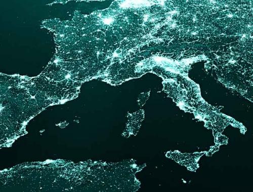
The TCS Seismology builds on existing coordinated European seismological infrastructures - ORFEUS, EMSC, EFEHR - and associated datacenters to provide services for seismic waveform data, seismological products, and seismic hazard and risk information, and integrates these within the EPOS architecture.

Near-Fault Observatories
near fault observatories icon

Near-Fault Observatories

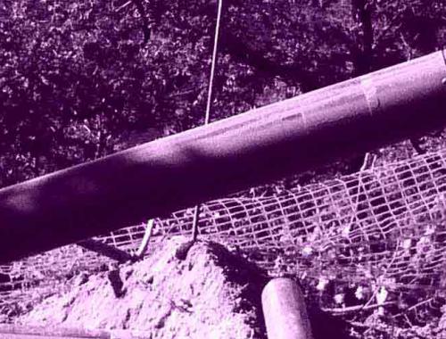
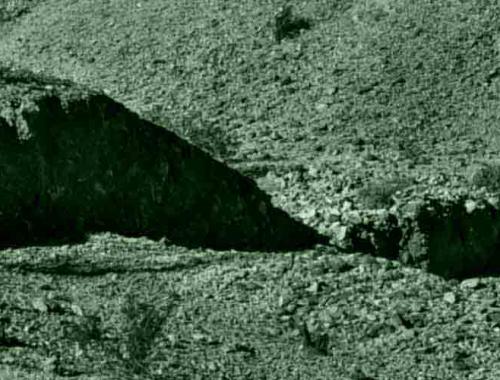
The Near Fault Observatories (NFO) are long term research infrastructures striving to provide such multidisciplinary and high resolution near fault data and products.

GNSS Data and Products
gnss icon

GNSS Data and Products

The TCS GNSS Data and Products provides access to data, metadata, scientific products and services, through the EPOS infrastructure, to foster research on geodesy and solid Earth science.

Volcano Observations
volcano observations icon

Volcano Observations

The Volcano Observations (VO-TCS) provide long-term access to the Volcano Observatories and Research Institutions data and products. VO-TCS aims at implementing facilities allowing easy access to volcanological data and interoperable services.

Satellite Data
satellite data

Satellite Data

TCS Satellite Data aims at implementing satellite Earth Observation (EO) services transverse to the large EPOS community and suitable to be used in several solid Earth science application scenarios.

Geomagnetic Observations
geomagnetic observations icon

Geomagnetic Observations

The TCS Geomagnetic Observations consolidates data and services provided by the geodetic community and creates new services for magnetotelluric data and geomagnetic models.

Anthropogenic Hazards
anthropogenic hazards icon

Anthropogenic Hazards

The TCS for Anthropogenic Hazards (TCS-AH) provides facilities, time-correlated datasets, and material on the EPISODES online platform to aid education and research on induced seismicity and hazards related to the exploration and exploitation of geo-resources.

stromatolite
geo icon

Geological Information and Modeling

The TCS Geological Information and Modeling is responsible for building upon huge amount of geological and borehole information available from the European Geological Surveys and providing a number of services easily accessible through the EPOS infrastructure and multidisciplinary research platform.
Multi-Scale Laboratories
multi scale laboratories icon green

Multi-Scale Laboratories

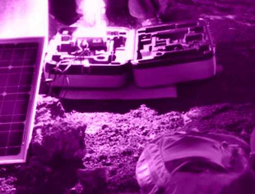
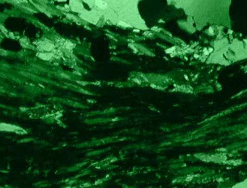
TCS Multi-scale laboratories includes a wide range of world-class experimental laboratory infrastructures: from high pressure-temperature rock and fault mechanics and rock physics facilities, to electron microscopy, micro-beam analysis, analogue modelling and paleomagnetic laboratories.
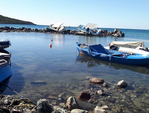

small bay with calm water and slightly destructed boats
Round, blue icon depicting a wave

Tsunami

The candidate Thematic Core Service (cTCS) Tsunami coordinates within the EPOS infrastructure the provision of various tsunami-related services, such as data (e.g., sea level, historical, submarine landslides), instrument information, tsunami information products, numerical models, and hazard and risk products in Europe.