The reviewed professional and scientific magazine GaKo published an article coauthored by Petr Bezděka and Jan Douša entitled "European Plate Observation System and Connection of Geodetic Data and Services from the National Infrastructure CzechGeo" (translation adapted from the original, in czech, "Evropský Observační Systém a zapojení geodetických dat a služeb z národní infrastruktury CzechGeo, Geodetický a kartografický obzor").
Monthly released, Geodetic and Cartographic Review (GaKO) is a national geodetic journal of the Czech Office for Surveying, Mapping and Cadastre (CÚZK) and Geodesy, Cartography and Cadastre Authority of the Slovak Republic (ÚGKK SA). Besides, it is recognized in the Research Information Registry (RIV).
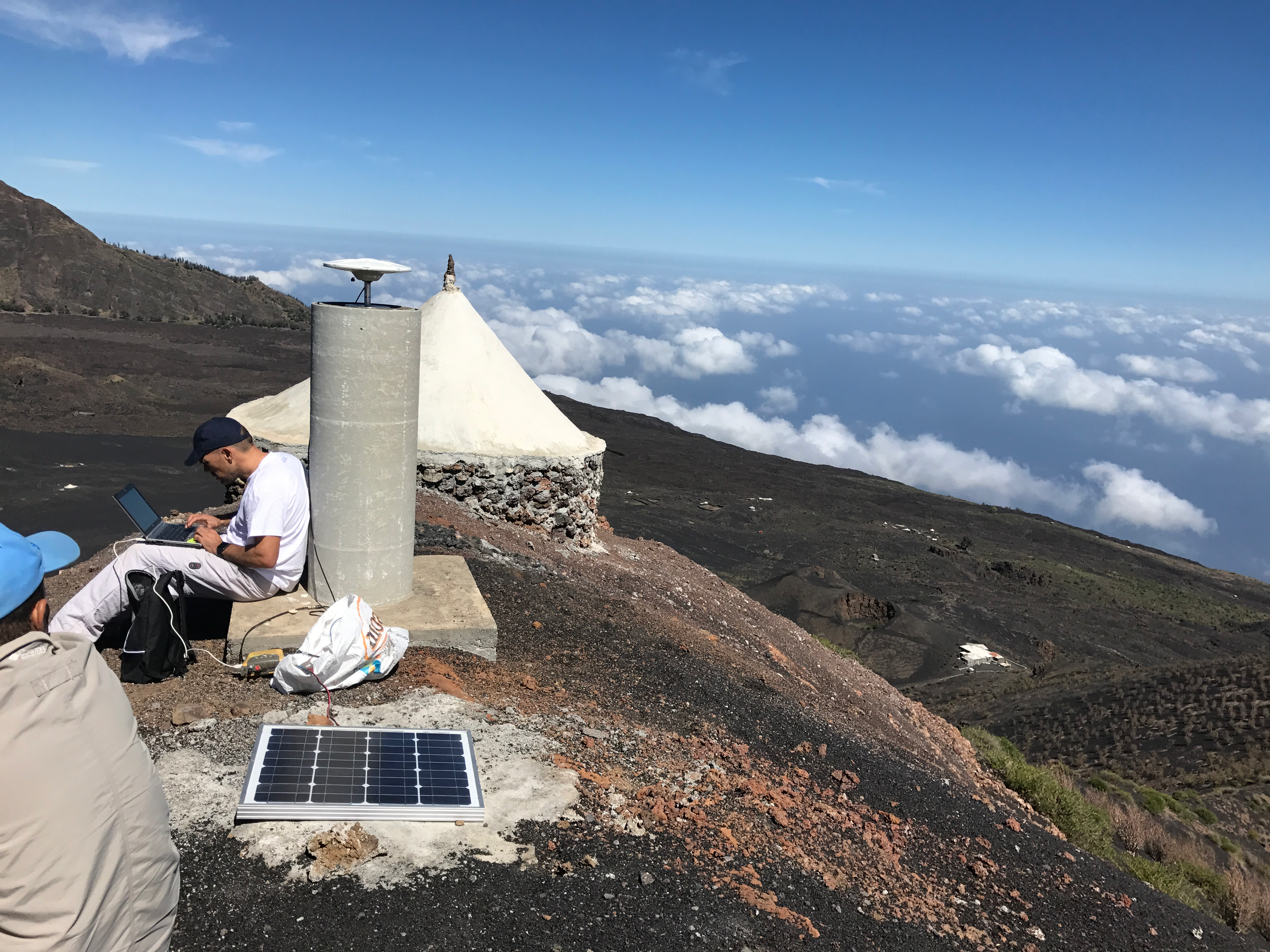
This paper is about EPOS TCS GNSS Data and Products and national infrastructure (CzechGeo), summarizes Jan Dousa.
According to the authors, the idea is to make a description of the importance of archiving and distributing GNSS data through research infrastructures at national and European level, dealing with the logic and connectivity of both types of infrastructures.
eInfrastructure – Access to GNSS data within the CzechGeo national infrastructure is ensured by the Geodetic Observatory of Pecný together with the integration into the European Plate Observation System (EPOS). "This pan-European eInfrastructure is in the second half of its implementation phase supported by the H2020 program in 2016-2019", wrote the authors.
Seamless virtual approach – A new concept for a seamless virtual approach to GNSS data from Europe is being developed by the EPOS TCS (thematic core service) GNSS Data and Products exploiting metadata and preparing standard tools for their creation, management, validation and dissemination in EPOS.
The authors also wrote about testing and validation of the system, which had been taking place during 2017-2018. "During this period a link to the pan-European infrastructure of EPOS was also ensured for the national CzechGeo GNSS data repository too", stated the authors.
About GaKo – Monthly released periodical fulfils the specialized, scholarly, educational and social function in the community of experts in geodesy, cartography and cadastre of real estate working in the state administration, in research, in pedagogical and educational processes and in the commercial sphere. GaKO represents the level of the discipline reached both in Czech and Slovak Republic as well as abroad and it is the only magazine with this content being published jointly by Czech and Slovak authorities.
Source: GaKo website